← back to CLOCA home
Contents:
- About the Watershed Report Card
- How do we measure watershed health?
- Our Forests
- Our Wetlands
- Our Surface Water
- Our Groundwater
- How are we doing?
About the Watershed Report Card
In 2007, using the Conservation Ontario guidelines for Watershed Reporting, Central Lake Ontario Conservation embarked on producing a Watershed Report Card called Protecting our Watershed as a means of reporting watershed health through the use of environmental indicators. Click here for more information on our old Report Card. The report card in turn allowed us and our partners to better target programs and measure environmental change. You are likely well aware that it is the strong and resilient natural ecosystems that help us to adapt to the many different challenges including the impacts of climate change, rapid urbanization, stressed biodiversity and increased pollution.
While we were satisfied with the report card we produced, and received positive feedback from our partners and stakeholders, we recognized that with 36 Conservation Authorities across the province, there was a need to collaborate better and produce a standard report card that captured watershed health across Ontario.
In 2009, we met with our Conservation Authority colleagues and technical and communication experts from Conservation Ontario to create a standard report card template and revise the technical guidelines created in 2003. It is this Guide to Developing Conservation Authority Watershed Report Cards that forms the foundation for the 2013 Watershed Report Card for Central Lake Ontario Conservation watersheds. The data for this report card was collected during the period of 2007 to 2011.
How do we measure watershed health?
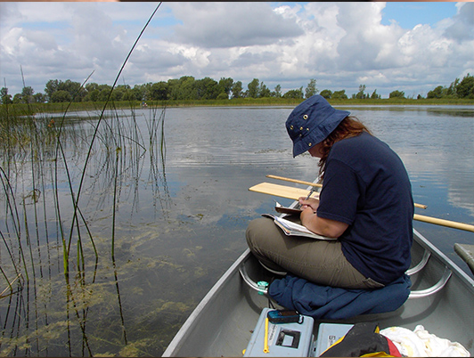
There are four primary indicators measured in the Watershed Report Card to provide a snapshot of land and water resource health. They are forests, wetlands, surface water and groundwater. Central Lake Ontario Conservation (CLOCA) staff are responsible for monitoring watershed conditions throughout our jurisdiction, targeting these specific environmental indicators. Quality and quantity of surface water, groundwater, forest cover and interior forest habitat conditions, riparian and wetland cover is used to help assess change and watershed health today, providing a point of reference for future comparisons.
Our Forests
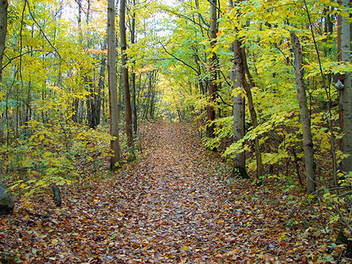
We know that trees clean our air and water, prevent erosion, reduce flooding and provide important habitat for wildlife. From our own observations and extensive research by others, the more forested a watershed is, the healthier it will be and the higher the grade.
Our Wetlands
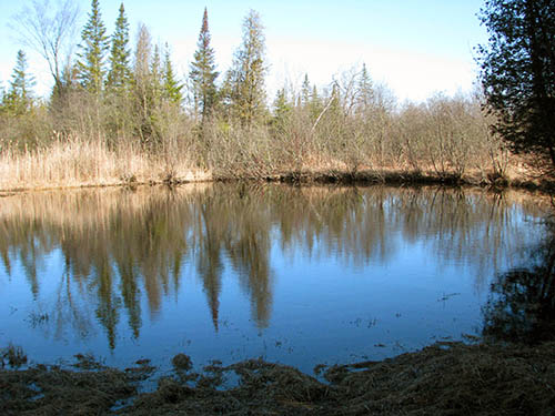
A wetland is a place where land and water come together. Wetlands can be a swamp, a marsh, a bog or a fen, deriving this classification from the type of plant life they host. All wetlands whether a treed swamp or a cattail marsh provide us with a host of services like improving water quality, reducing erosion and flooding and providing habitat for terrestrial (land) and aquatic(water) species.
Our Surface Water
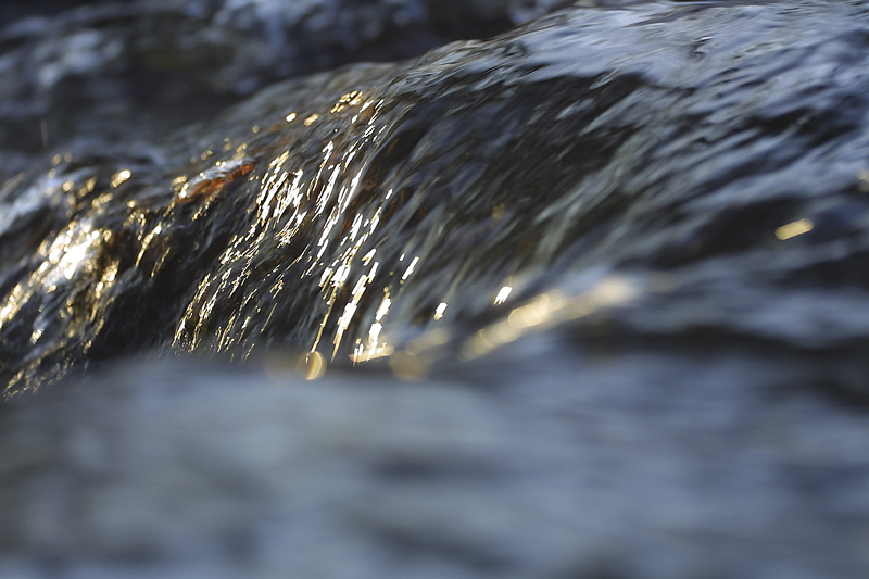
As water travels over land, it picks up contaminants like salt and oil from our roadways and fertilizer or pesticide from our lawns. The aquatic organisms that live within our creeks, ponds and wetlands that receive this polluted water, are sensitive to the resulting changing conditions. By their presence or absence, they tell us a lot about the quality and health of that water and where we can make improvements.
Our Groundwater

Surprise! Not all water travels over land. A great deal of it is absorbed by the ground trapping rain and snow and releasing it slowly, back into our creeks and wells, cleaning it and contributing to a reduced risk of flooding and erosion. It acts like a giant reservoir and large pockets of water under the ground are appropriately called aquifers. But even under the ground, covered by sand, gravel, rock and soil, it can be polluted. This not only presents huge risks to rural communities that rely on water from their wells for drinking, but that same water eventually makes its way downstream as surface water. It may end up in a creek where you fish or in Lake Ontario where we get our drinking water. By monitoring the quality and quantity of groundwater, reducing the risks of contamination through improved human actions, we can ensure a healthier sustainable water supply, now and in the future.
So How Are We Doing?
To see how we're doing, check out our 2013 Watershed Report Card.
We look forward to celebrating good health now and in the future and working with our communities throughout our jurisdiction to ensure we leave our next generation a lasting legacy.
For more information on the Central Lake Ontario Conservation Watershed Report Card, please contact:
Patricia Lowe, BLA, OALA, CSLA
Director, Stewardship, Education & Communication
100 Whiting Avenue
Oshawa, Ontario L1H 3T3
Tel 905-579-0411 ext 126
Fax 905-579-0994
Email – plowe@cloca.com
